This outline map of South America (simplified) shows the location of Colombia picked out amongst the other South American countries.

&npsp;
This outline map of South America (simplified) shows the location of Colombia picked out amongst the other South American countries.
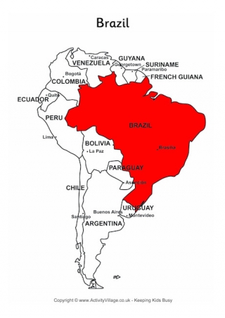
Here's an outline map of South America which shows Brazil highlighted in red. It's useful for showing just how large Brazil is, and which countries are its neighbours.
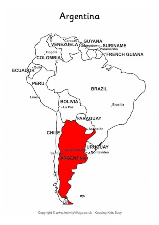
This outline map of South America has Argentina highlighted in red, so that children can see its relative size and position. The capital city is also marked.
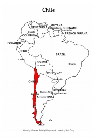
This outline map of South America shows Chile's position in red, and gives the kids an idea of just what a "long, thin" country it is, and how much the climate can vary between north and south!