This helpful map shows where to find El Salvador on a map of North America. Print and use as part of topic work and displays.

&npsp;
This helpful map shows where to find El Salvador on a map of North America. Print and use as part of topic work and displays.
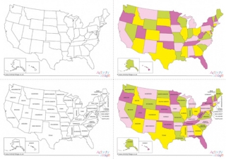
These useful maps are a great way to learn the states of the United States of America - and their relative position and size. Choose from black and white or colour, and blank or labelled versions, or download them all.
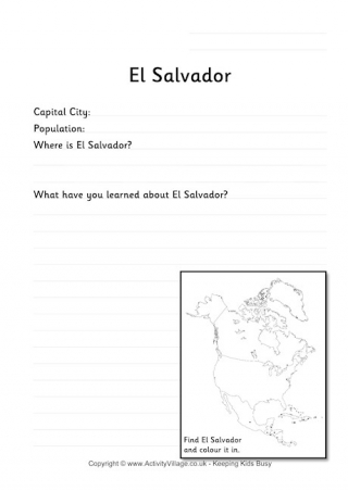
This worksheet prompts the kids to find out some key information about El Salvador, write a little about what they've learned and also has a small map where they can show its location.
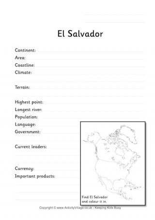
This fact worksheet requires a little more research on the country of El Salvador. Find out the answers and fill in the blanks.