Come with us to the east coast of Africa, to a small country of coastal plains, central highlands, dry deserts and tiny islands. Eritrea is rich in natural resources, but severe drought and political instability have made it one of the poorest countries in Africa. Our printable resources below are a useful way to test your knowledge.

A Little Geography…
- Eritrea is found on the coast of the Red Sea and borders Sudan, Ethiopia and Djibouti. The country also includes over 350 islands in the Red Sea, including the Dahlak Archipelago.
- Eritrea has a population of about 6 million people, living in an area of around 120,000 square kilometres. The country has no official language but Tigrinya, Tigre, Arabic and English are commonly spoken.
- Officially called the The State of Eritrea, the country is named after the Greek name for Red (Erythra) owing to its location by the Red Sea. The capital, Asmara, is often regarded as ‘New Rome’ due to its Italian colonial architecture.
- Most people live in rural areas and fishing and farming are major industries. But drought, deforestation and soil erosion have brought challenging conditions. The country is also blessed with natural resources, such as gold, zinc, copper and salt. Clothes are an important export, while Eritreans who live abroad and send money home are another major source of income.
A Little History…
- Eritrea was ruled by the Ottoman Empire in the 1500s, before it was colonised by Italy in 1889. During the Second World War, the country was put under the protection of the UK, but then became part of Ethiopia in 1952.
- More than 30 years of war followed between Eritrea and Ethiopia. Eritrea fought for independence, while Ethiopia wanted to keep Eritrea’s access to the sea. Eritrea eventually gained independence in 1993, but relations between the two countries are still strained.
- Eritrea has nine ethnic groups. More than half the population belong to the Tigray people who are mostly Christians, while the next largest ethnic group, the Tigre, are mostly Muslims.
And Some Interesting Facts…
- Eritrea’s southernmost region, Denkalia, is one of the lowest and hottest places on earth. Temperatures of 60ºC have been reported there!
- The country is home to lions, leopards, zebras, monkeys, elephants, turtles and gazelles. Sadly giraffe and baboon populations have died out, due to hunting and habitat loss.
- Football and cycling are popular sports in Eritrea. Many athletes also compete internationally. Zersenay Tadese, for example,won the country’s first Olympic medal in 2004, winning bronze in the men’s 10,000 metres in Athens. He currently holds the world record for the men’s half marathon.
The Eritrea Flag

The flag of Eritrea was officially adopted on May 24, 1993, and the colours on the flag (green, blue and red) are the official colours of the Eritrean People's Liberation Front (EPLF). The flag also features an olive branch circled by a wreath.
Our Eritrea Resources
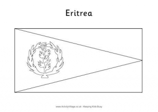
Colour in the Eritrean flag, with its red, green and blue triangles and yellow wreath design.
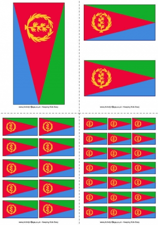
Here is the flag of Eritrea, ready to print out in four useful sizes.
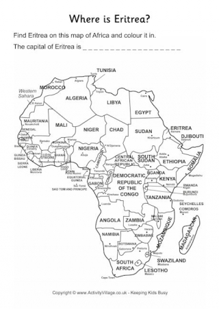
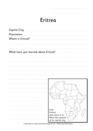
Where is Eritrea on the continent of Africa? Use our location worksheets to find it, and the capital city.
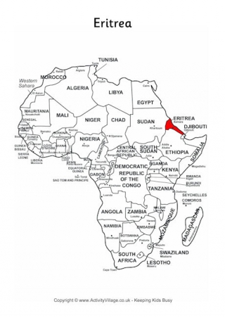
This simplified map of Africa has the location of Eritrea, on the East coast, marked in red.
Find out the answers to some facts, test your location knowledge, and use the extra space to write down interesting information that you have learned about Eritrea.