Print this world outline map onto A4 paper and use it for location work. It gives a good overall impression of the larger countries of the world, but of course much of it is simplified.

&npsp;
Print this world outline map onto A4 paper and use it for location work. It gives a good overall impression of the larger countries of the world, but of course much of it is simplified.
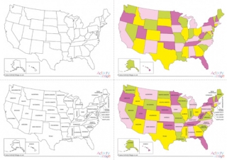
These useful maps are a great way to learn the states of the United States of America - and their relative position and size. Choose from black and white or colour, and blank or labelled versions, or download them all.
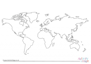
This useful, simplified world outline map prints onto A4 paper and is a useful starting point when looking at the continents or the world as a whole. We don't pretend it is terribly accurate, so please don't rely on it!
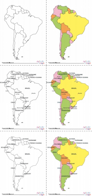
We've got 6 printable maps of South America here to choose from. There's an outline map, a map with countries, and a map with countries and capital cities. All 3 are available in colour or black and white.