Learn a little about the Central American country of Nicaragua, and print our flag and map printables, colouring pages and worksheets with the kids.
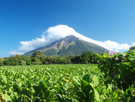
Concepcion volcano, Ometepe island, Nicaragua
A Little Geography
- The Republic of Nicaragua is the largest country in Central America. Situated to the north of Costa Rica and south of Honduras, Nicaragua's east coast runs along the Caribbean Sea with the Pacific Ocean on its west coast.
- The country has three distinct zones: the Pacific lowlands, the cooler central Highlands and the Caribbean lowlands.
- Nicaragua is known as the 'land of lakes and volcanoes', although these are mainly found in the south west of the country. There are 19 volcanoes, formed as the Cocos Plate slowly moves under the Caribbean Plate along the Middle American Trench.
- The northeast is known as the Mosquito Coast, after the Moskito people who lived in the area. It was a haven for English, Dutch and French pirates, who raided the Caribbean. Many descendants of plantation slaves in the area still speak Creole English. The swampy mangroves were also mosquito infested.
- A quarter of the 6 million inhabitants live in the sprawling capital of Managua.
- The former capital city, Leon, was established by Hernandez de Cordoba in 1524 below the Momtombo volcano. Eruptions in 1596 and 1610 resulted in the city being moved almost 50 km. The volcano is still active, erupting in 2015.
- Granada, built in 1524, became a very rich city. It was used by the Spanish empire to transport gold back to Europe. It was largely burnt down by retreating American William Walker when he later lost control of the city but is being restored as a major tourist destination.
- Ometepe island, in the middle of Lake Nicaragua, was settled by Aztecs when they abandoned their homeland in Mexico. It has not 1 but 2 volcanoes - Concepcion, which is active, and Maderas, which is covered with cloud forest.
- Nicaragua is one of the poorest countries in the western Hemisphere after Haiti, with a GDP just above $2,000 a head.
- Coffee is the main export crop of this agricultural economy, grown largely in the fertile northern highlands on small family owned farms.
Some More Interesting Facts:
- Ruben Dario is the country's most famous poet. He is called the father of Spanish modernism and even has a Madrid metro station named after him.
- The turquoise browed motmot is Nicaragua's national bird. The familiar long blue tail and colourful body can be seen from forests to urban areas and even on the 200 cordoba banknote.
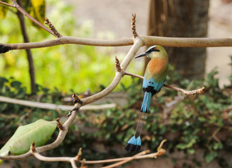
Turquoise browed motmot, national bird of Nicaragua
- Volcano boarding on the Cerro Negro volcano slopes is very popular. Visitors hike up the mountain then slide down the ash on a wood or metal sheet.
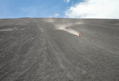
Look closely and you can see people "ash boarding" down the slopes of the Cerro Negro!
- The national dish, called Gallo Pinto, is made with rice and beans.
- Lake Nicaragua, the largest freshwater lake in the region, is home to sharks which are thought to have evolved after the lake was cut off from the sea by tectonic activity.
About the Nicaragua Flag
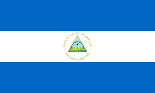
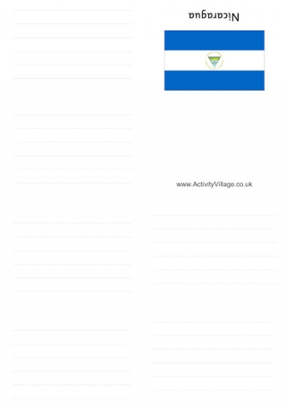
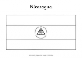
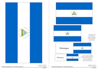
The flag of Nicaragua consists of three bands - blue, white and blue - with the Nicaraguan coat of arms centred on the white band.
Our Nicaragua Resources
Part of our huge series of around the world booklets, this Nicaragua booklet comes in both blank and lined versions. Folding instructions can be found here.
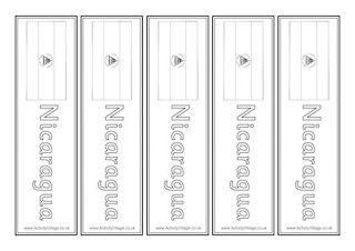
Our Nicargua bookmarks would also make handy classroom labels and come in 4 versions; with or without country name, colour or black and white.
Prompt some learning about Nicaragua with this fun fact worksheet, which also works as a revision aid to pull together everything you have studied.
The top and bottom stripes of the Nicaraguan flag are simple to colour in a striking blue, but the kids will have to take care to get the details of the central design correct...
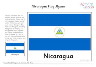
Have fun on the go with this printable Nicaragua flag jigsaw. Print, cut out following our instructions, pop in an envelope for an activity that is easily transportable.
Download this PDF file and you can print out the Nicaraguan flag in five different sizes.
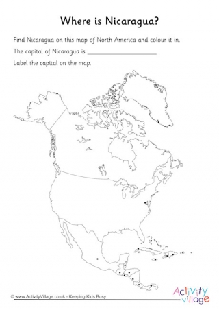
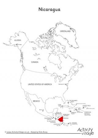
We have two versions of our location worksheets, one guided and one blank. Can the kids recognise the outline of Nicaragua on our simplified outline map of Central and North America, and mark in the capital city?
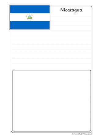
If you are learning about the countries of Central America you can present your work in style on our Nicaragua notebooking pages.
On this simplified outline map of North and Central America, we have highlighted Nicaragua in red. It's a great way of exploring location, neighbours, boundaries etc with the kids.
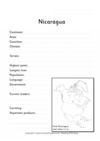
This simple fact worksheet provides plenty of space for the kids to record the information they have learned about Nicaragua.